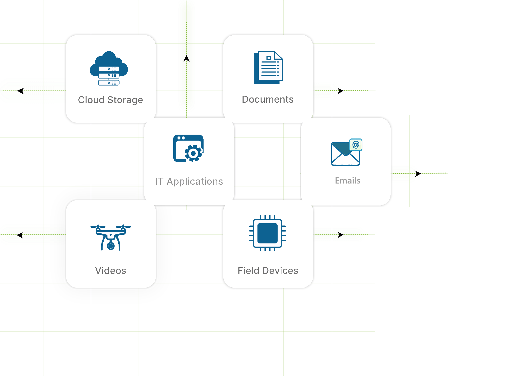
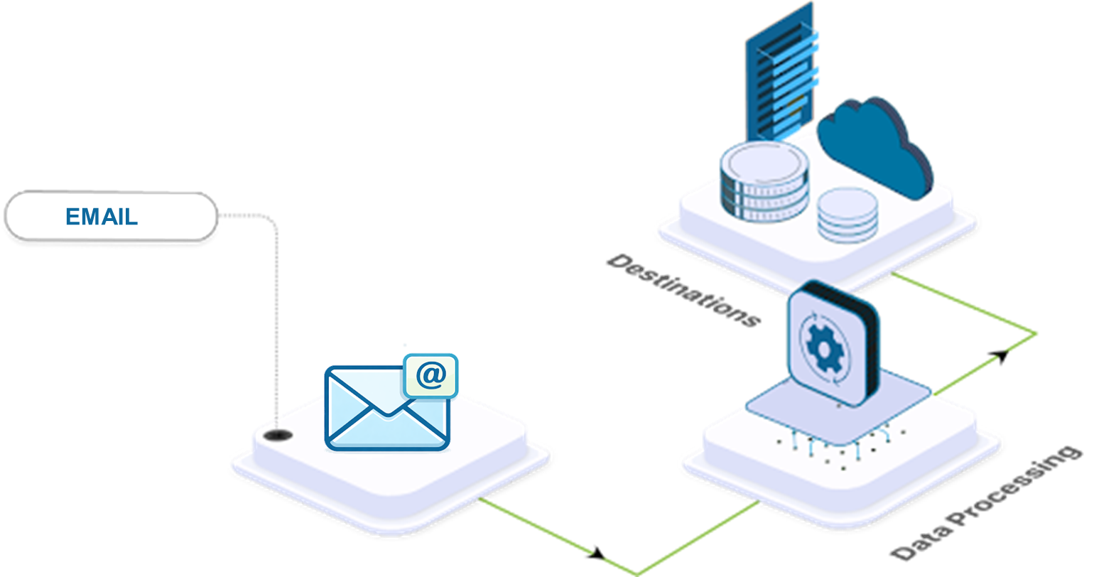
Connects CRM, ERP and operational databases to the AI Data Preprocessor via APIs and direct SQL/NoSQL extraction — ensuring transactional records and master data enter the pipeline with full quality validation and source attribution.
.png)
.png)
.png)
.png)
.png)
.png)
.png)


Aggregates data across AWS, Azure, Google Cloud and other platforms through a configurable scheduler. Enables continuous synchronization across departments, partners and customers without programming.

Vehicle tracking determines a vehicle’s location and integrates its movement into operational processes in the service industry.
Non designated stoppages or deviation from planned route get highlighted, with the exact place & time of occurrence.
Nextqore integrates with vehicle tracking sensors to Digitize fleet operations, improve efficiency and reduce cost. From Vehicle Health to Geo fencing, get Real Time alerts that empower organizations to make smart decisions.

Monitor and optimise fuel to increase efficiency of a static or moving equipment. Complete transparency into fuel levels and consumption. Reduce Fuel theft, under re-fuelling and fuel frauds.
A. Monitor Fuel Wastage
Fuel wastage due to idling, harsh acceleration, or reckless driving behaviour can easily be detected. Reports and insights provide detailed information on fuel consumption, mileage, and refill activities.
B. Reduce Operations Cost
Improved fuel economy leads to a reduction in overall fleet costs. Clients have reported 20%+ reduction in fuel costs post migration to Nextqore’s FuelTrac.

TeamTrac simplifies field staff operations by using a mobile app (iOS & Android) to track workforce locations in real time. It helps monitor travel times, benchmark service levels, and improve task planning. With geo-fencing capabilities, it tracks entry, work duration, and exit from job sites, ensuring accurate service measurements and enhancing operational efficiency.

Extracts and structures content from PDFs, spreadsheets, contracts and scanned records — converting document-locked business knowledge into pipeline-ready data for AI models. Reduces manual data entry dependency by up to 70%.
Processes LiDAR scans, drone footage and site recordings — extracting spatial, operational and event-based data as structured, queryable records. High-value for construction, infrastructure and field operations where physical conditions drive decisions.


.png)
.png)